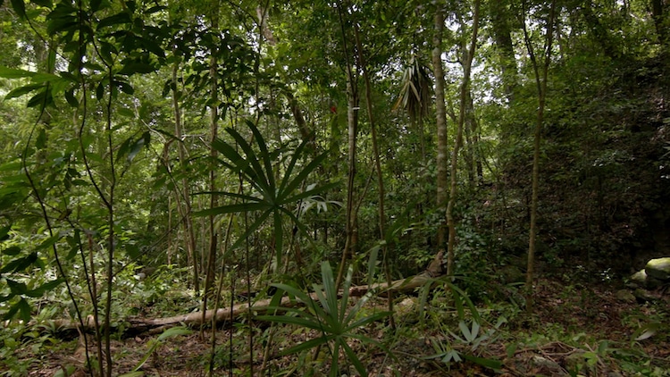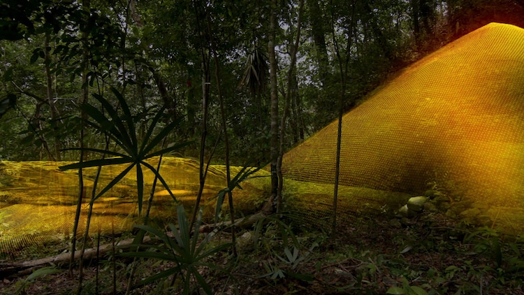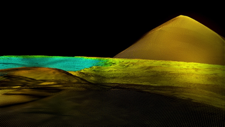
For millennia, the ancient Maya civilisation has remained a mystery, impeded by the dense Central American rainforest, which has made excavations impossible. But now, thanks to cutting-edge technology, a group of experts has been able to uncover more than 60,000 previously unknown Maya structures. This groundbreaking discovery fundamentally alters archaeologists’ understanding of this ancient civilisation.
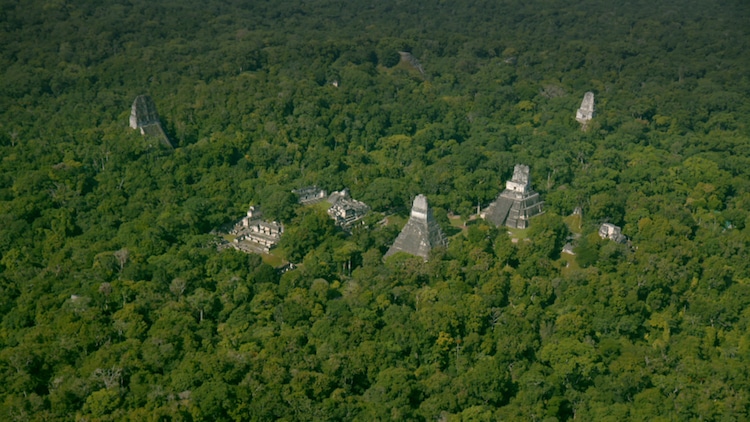
Almost 800 square kilometers of Guatemalan forest were scanned by aircraft using LiDAR (Light Detection and Ranging) laser technology. The technology, developed by the non-profit PACUNAM, allows researchers to look under the heavy canopy of trees, revealing linked Maya towns that were considerably more massive than the solitary Maya villages previously assumed to exist.
Furthermore, the survey’s sprawling cities might have housed upwards of 20 million people, a massive increase from the previously estimated 1 to 2 million. Not just in terms of numbers, but also in terms of intelligence, this would place the Maya on par with ancient Egyptian or Chinese civilizations.
“There are entire cities we didn’t know about suddenly popping up in the survey data,” says co-leader and archaeologist Francisco Estrada-Belli. “There are still 20,000 square kilometers [7,700 square miles] to be examined, and there will be hundreds of cities we haven’t discovered yet.” “I can assure you.”
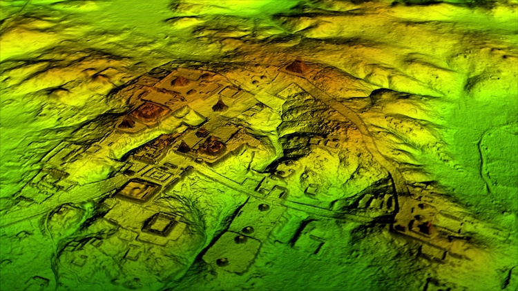
The Maya not only lived in interconnected cities, but they also built massive elevated roadways, defenses, and farmland, according to LiDAR data. In reality, it appears that they were able to control the terrain in such a manner that they could produce food on a near-industrial scale.
“We’ve got this Western assumption that complex civilizations can’t thrive in the tropics, that the tropics are where civilizations go to die,” Marcello Canuto, a Tulane University archeologist who collaborated on the research, explained. “However, we now have to consider that complex cultures may have evolved in the tropics and spread outward from there, based on recent LiDAR-based data from Central America and [Cambodia’s] Angkor Wat.”
Scientists are only scratching the surface of rewriting Maya history; with so much data to go through and new places to investigate, they’ve only scratched the surface. In reality, this is only the first phase of PACUNAM’s three-year study of the Guatemalan lowlands, which will cover more than 5,000 square miles. In the documentary Lost Treasures of the Maya Snake Kings, which premieres on National Geographic on February 6, 2018, at 9 p.m. EST, learn more about the find and the civilizations discovered.
Archeologists used laser technology to digitally peel away the thick Guatemalan jungle, revealing more than 60,000 undiscovered Maya buildings.
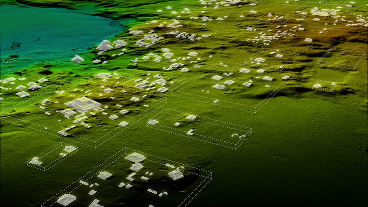
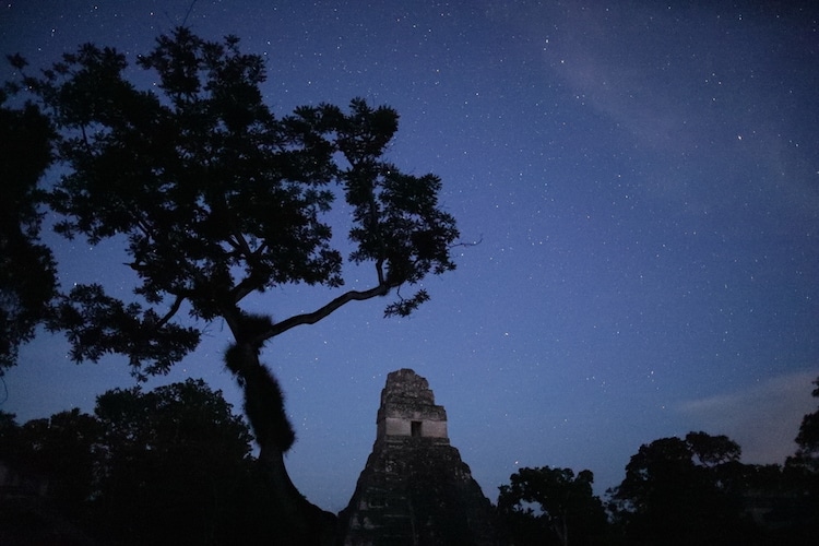
LiDAR also assisted researchers in the discovery of a gigantic, previously undiscovered pyramid at the heart of Tikal, a significant Maya metropolis that is today a famous tourist attraction.
