
NASA’s latest release of 2,540 images from the HiRISE camera on the Mars Reconnaissance Orbiter (MRO) offers an extraordinary glimpse into the Martian landscape. These high-resolution photos reveal the planet’s intricate details, showcasing its diverse terrain and subtle color variations.
For over a decade, HiRISE has captured invaluable data, allowing scientists to examine Martian features at a remarkably fine scale. This new collection highlights the camera’s ability to transform subtle soil differences into a spectrum of colors, challenging the perception of Mars as simply “red.”
These images are more than just visually stunning; they are scientifically significant. Researchers use them to study Martian geology, identify potential landing sites for future missions, and understand the planet’s past environments. The detailed views have even aided in examining the crash site of the Schiaparelli Mars lander.
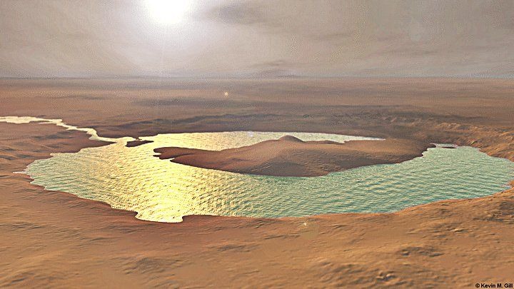
The collection features a range of captivating landscapes, including ancient canyons, impact craters, and wind-sculpted dunes. The polar ice caps, composed of water and carbon dioxide ice, are also prominently featured, showcasing the planet’s dynamic seasonal changes.
This release provides a unique opportunity to experience the beauty and solitude of Mars. The sheer volume of data and the visual richness of these images contribute significantly to our understanding of the Red Planet, fueling our curiosity and inspiring future exploration.
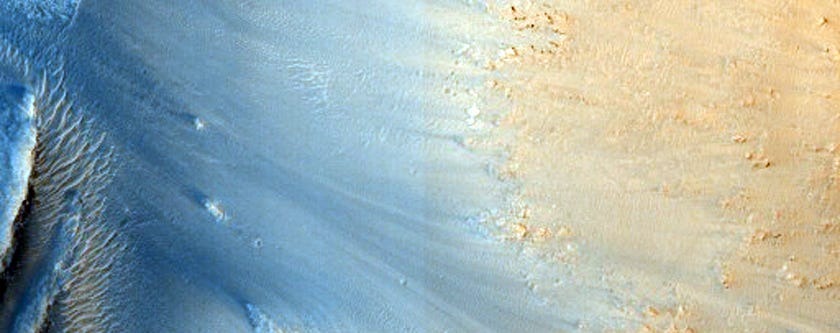
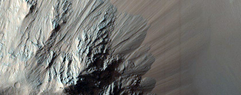
A large chasm:
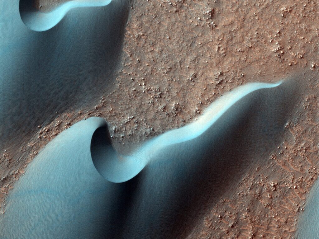
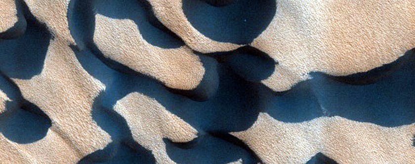
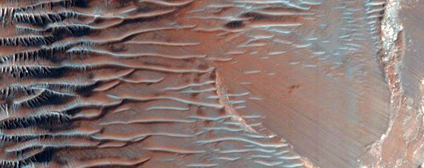
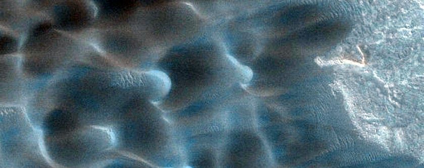
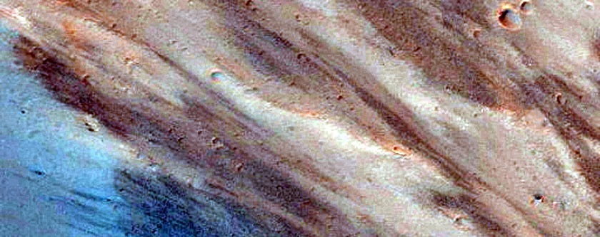
Some dark, rust-colored dunes in Russell Crater:
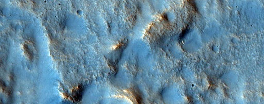
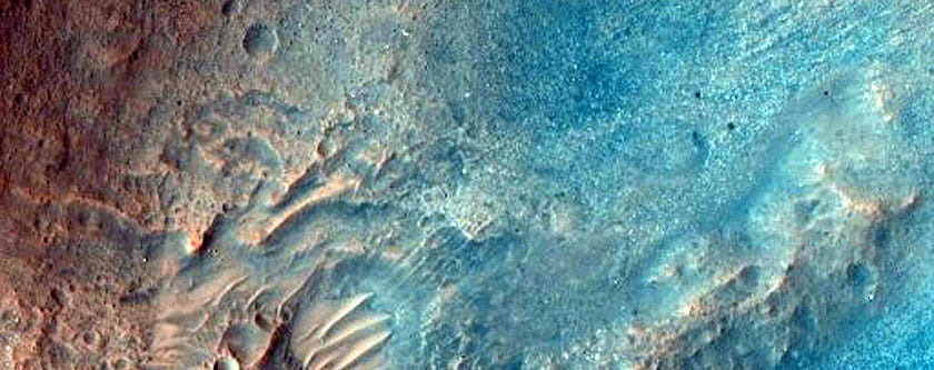
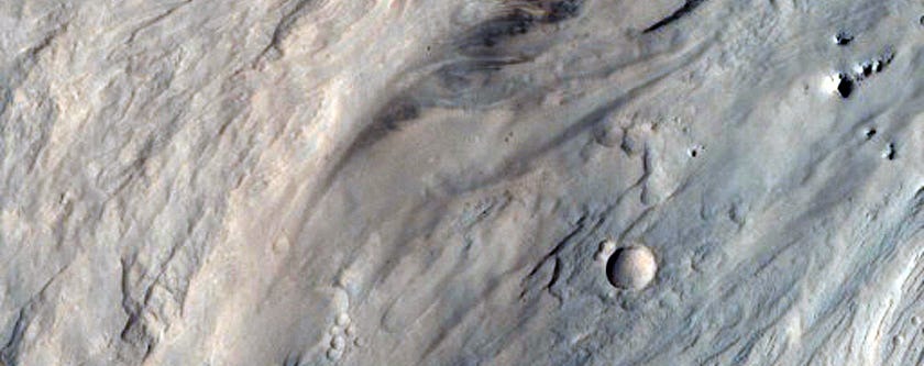
NASA might land its next nuclear-powered Mars 2020 rover mission here.
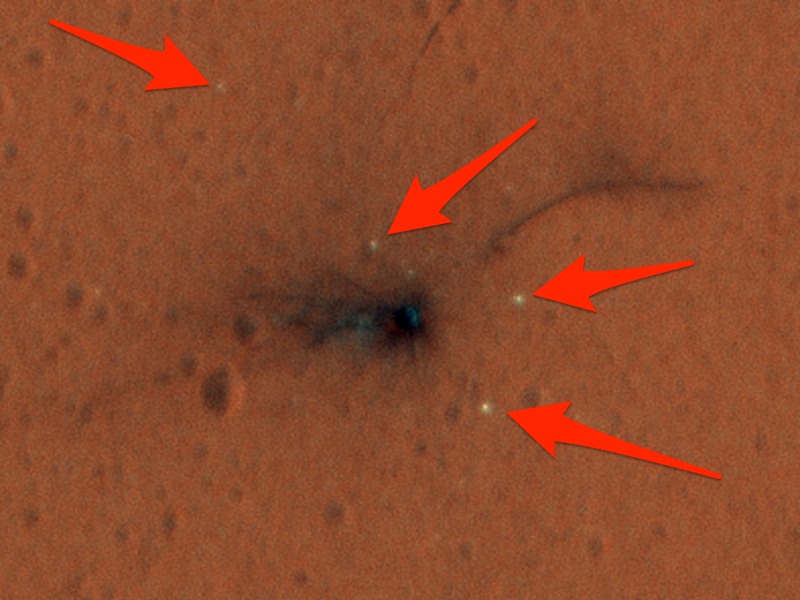
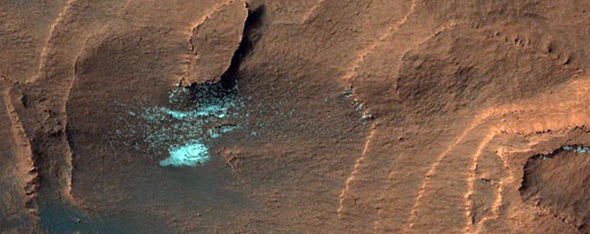
The black splotch is where the European Space Agency’s Schiaparelli Mars lander crashed. The white specks, pointed out with arrows, are pieces of the lander.
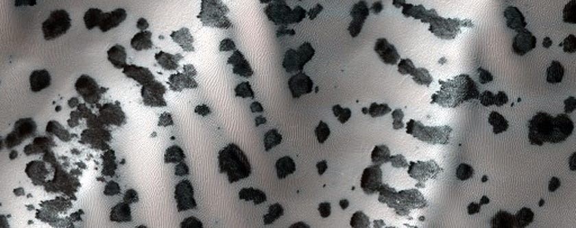
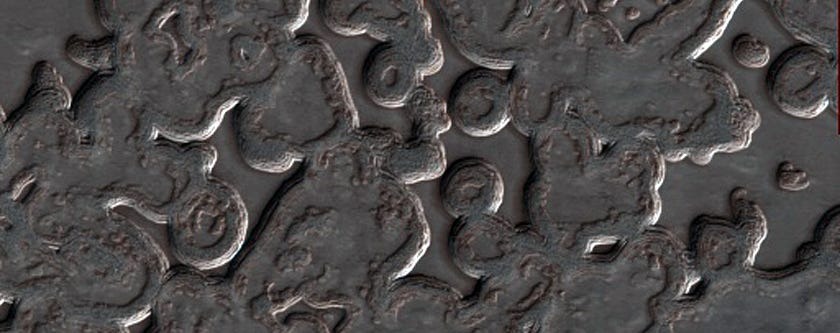
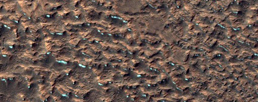
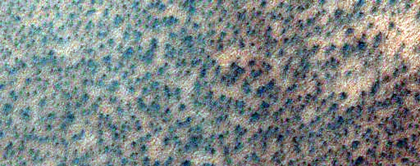
Zebra skin. Just kidding, this is a dune field that’s speckled with oval-shaped mineral deposits:
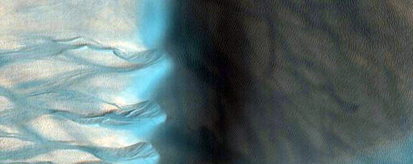
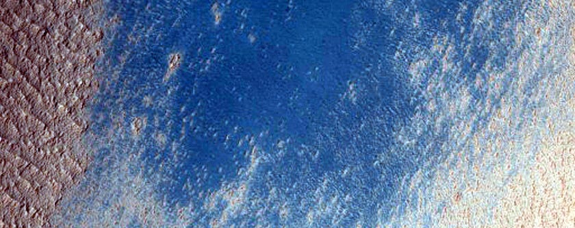
False-coloring this image makes a giant dune and its gullies look blue.
A possible landing site for the ExoMars 2020 mission, which the European Space Agency is running.
A North Pole dune field nicknamed “Kolhar,” after Frank Herbert’s fictional world.
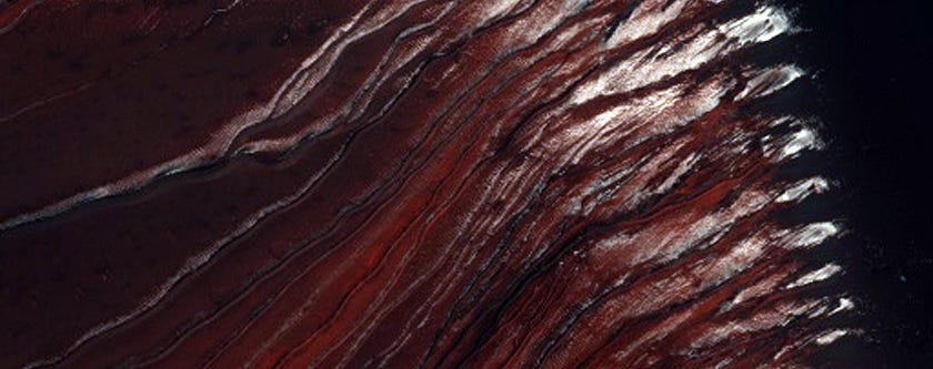
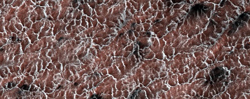
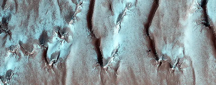
Carbon dioxide that turns from solid to gas carves out these strange shapes at Mars’ south pole:
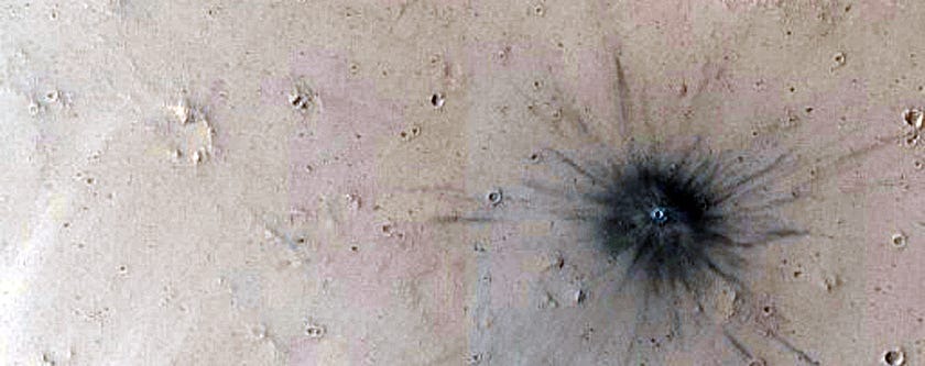
A recent impact crater on Mars. (We’re pretty sure no one put out a giant cigarette here.)
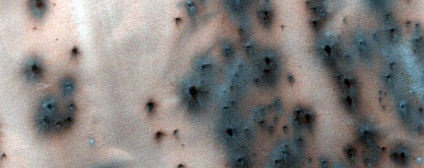
‘Spiders’ are eruptions of dust caused by the way the Martian surface warms and cools:
Cerberus Palus crater showing off layered sediments:
NASA keeps an eye of gullies like this for small landslides – and any water that melts in the warm sun to form darker-colored mud.
Another gully scientists are having HiRISE monitor:
Glacial terrain looks strangely iridescent:
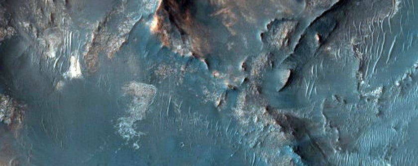
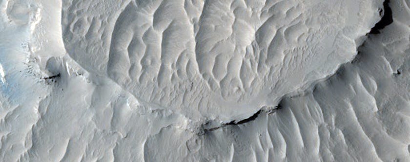
A steep slope in Eastern Noctis Labyrinthus:
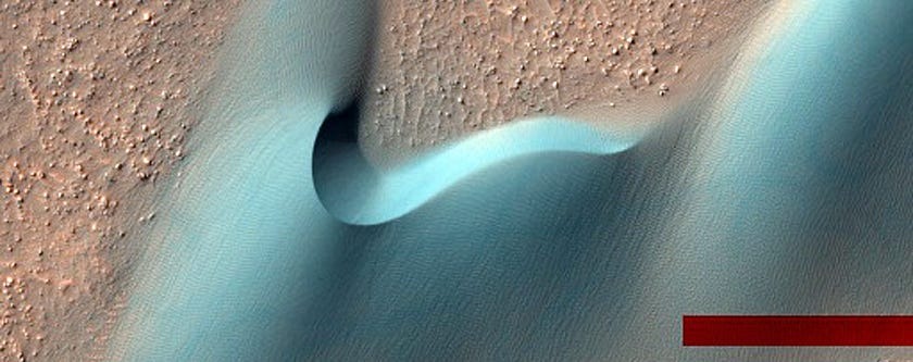
Dunes in a Martian crater. The red bar is an artifact of NASA’s image processing:
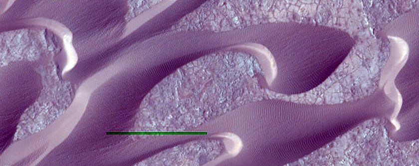
Wind-shaped dunes on Mars crawl across cracked soil in Nili Patera. The green bar is leftover from processing the image:
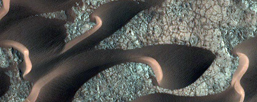
The same sand dunes in full color, a couple of months later:
The creation of ‘fans’ around dunes may help scientists understand seasonal changes on Mars:
Another possible landing site for the Mars 2020 mission:
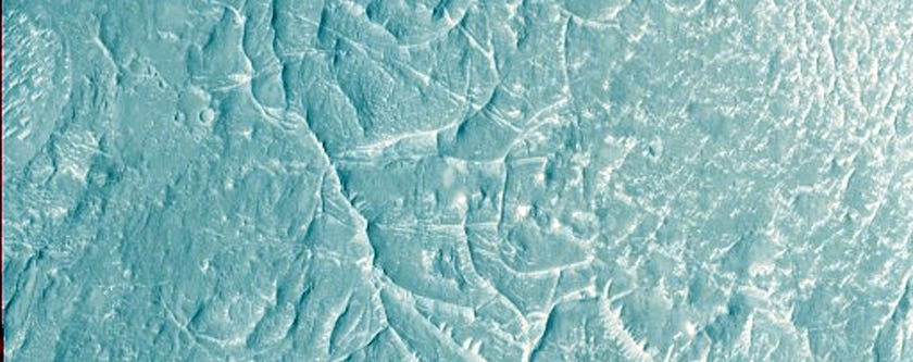
Terrain near the Martian equator:
Ceraunius Fossae is a region dominated by volcanic flows and large cracks:
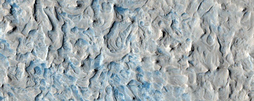
Beautiful texture in the region called North Sinus Meridiani:
False colours assigned to certain minerals make Syria Planum an inky blue that’s speckled with gold:
A crater on Arcadia Planitia, a large flat region of Mars:
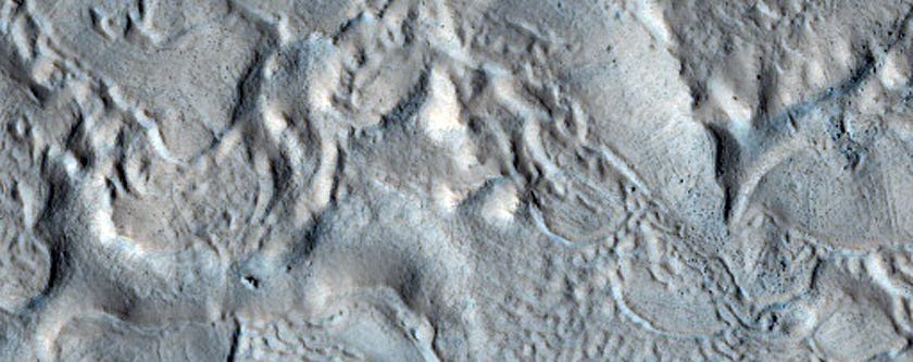
Layers in Martian buttes found in a region called West Arabia:
A picture of Utopia Planitia, a large plain on Mars:
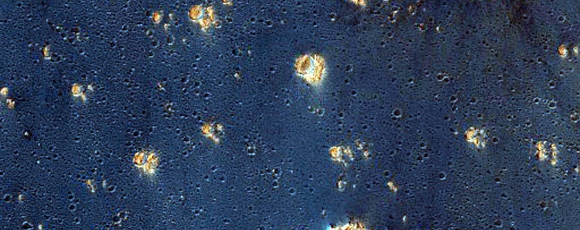
A bright speckle of minerals stands out on Galle (not Gale) Crater:
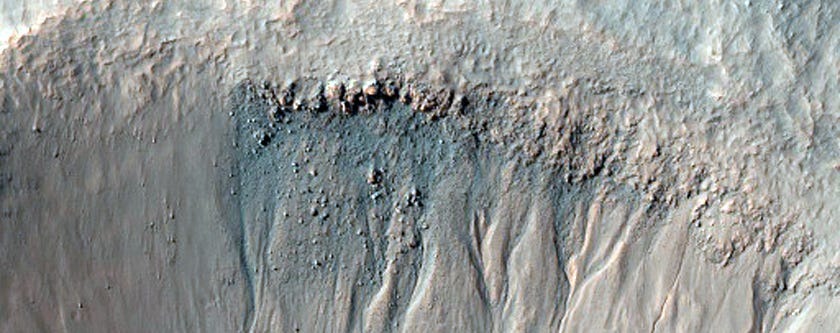
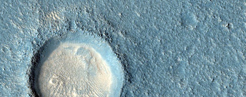
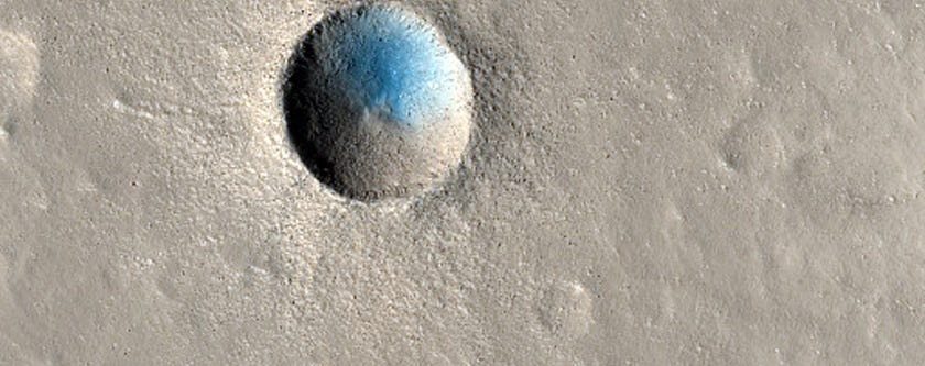
A small but recent impact crater:
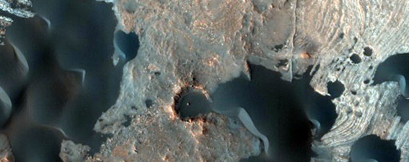
Blowing sand eats through the rims of older craters:
Mars in all its two-toned glory:
Seasonal dunes on Mars nicknamed ‘Buzzel’.
Ridges cross the Nepenthes Mensae region, which is often referred to as a river delta for the striking pattern:
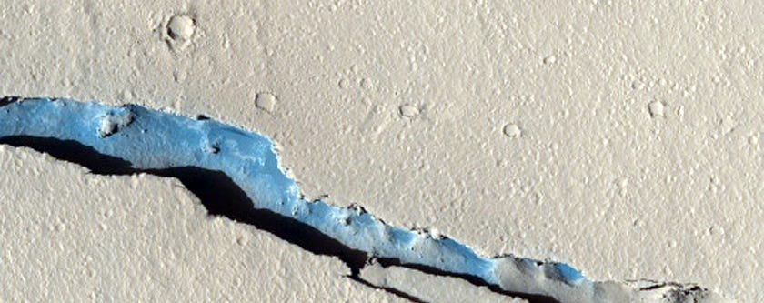
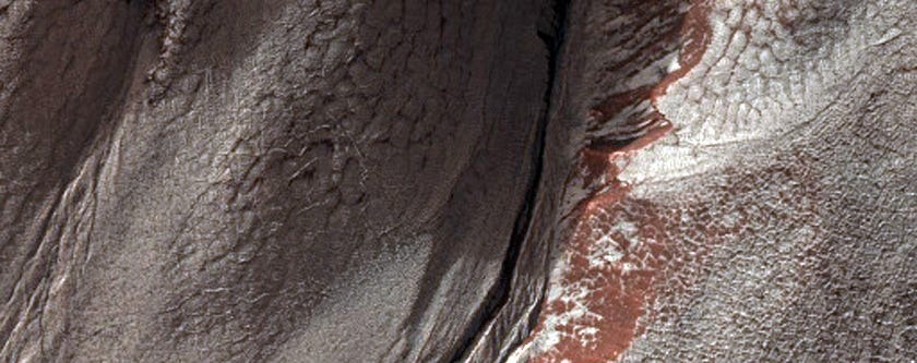
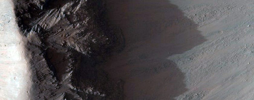
The edges of a debris apron, where cliff material eroded away.
Alluvial fans are some of the evidence that scientists used to confirm there was once water on Mars.
Exposed bedrock on the Capri Chasma, which may once have been filled with floodwaters:
This is the edge of a special layered deposit at Mars’ south pole.
The false-colour makes the white look like ice, but it’s just one of the many layers of rock and soil.
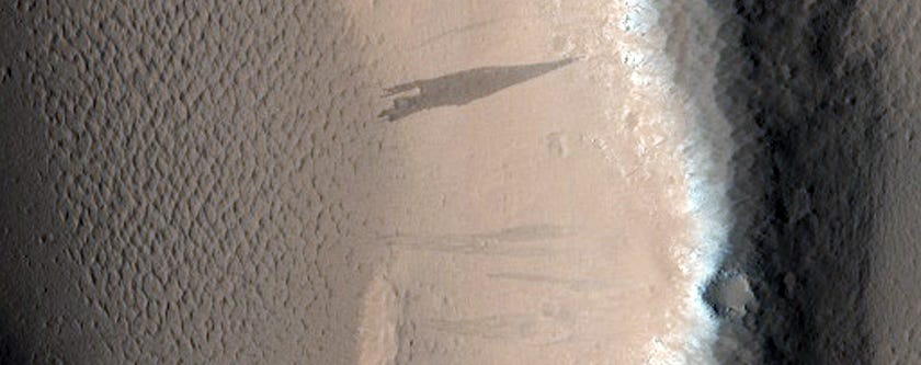
The shadow of Ganges Chasma looms tall:
Eos Chasma is part of Valles Marineris, the largest canyon on Mars.
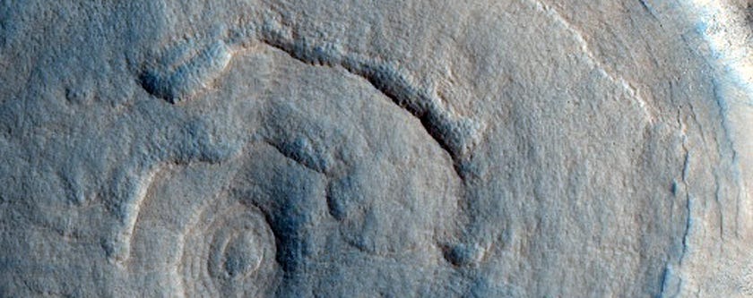
A pedestal crater, where a crater has eroded away at different rates based on different rock types:
Watching Mars defrost.
Measuring changes in albedo, or how much light is reflected off the surface:
Leave a Reply