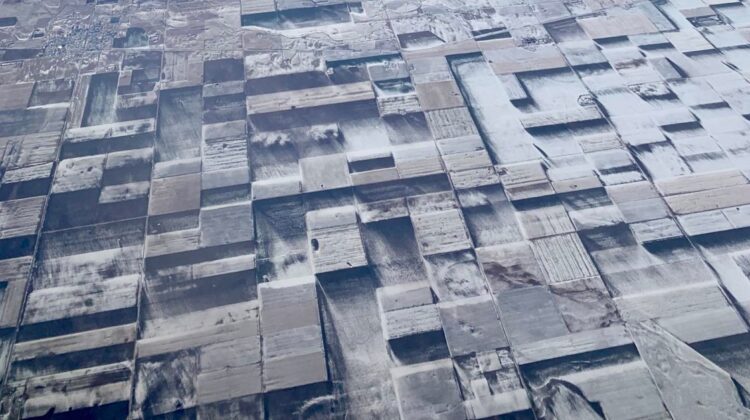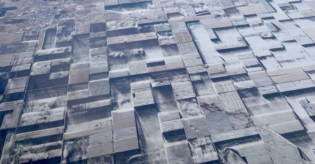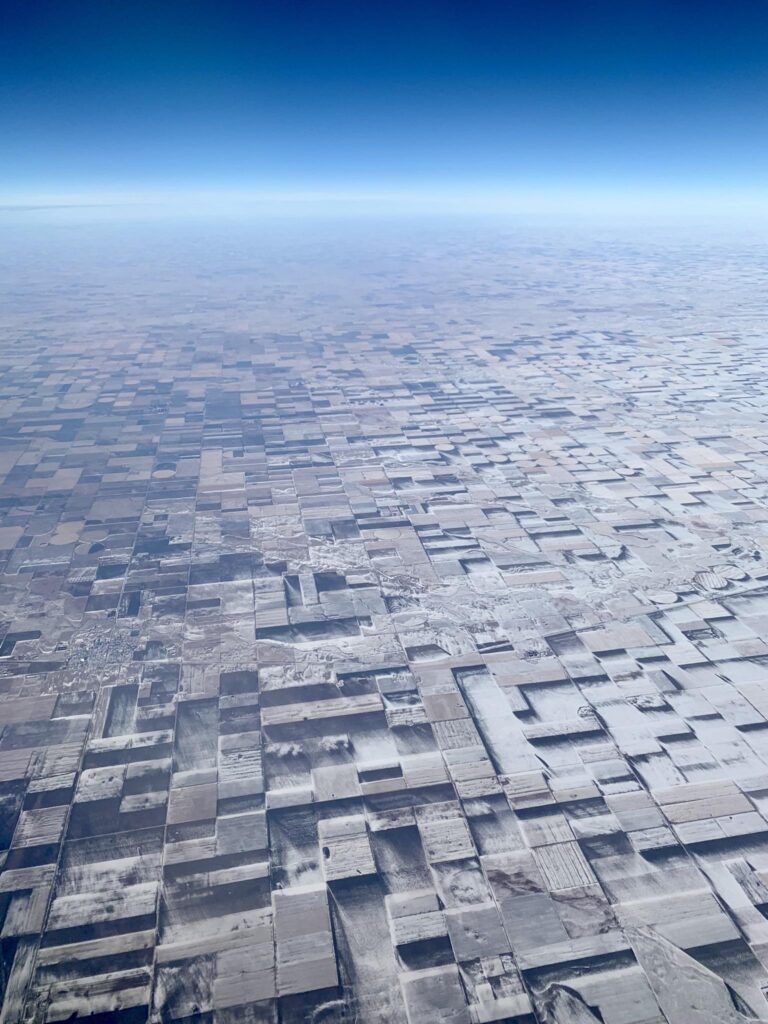
An aerial photograph of farmland in eastern Colorado captures a naturally-occurring optical illusion that made the normally flat terrain appear to have a three-dimensional quality.
While en route to Denver, Daniel Hoerr spotted something fascinating from his plane window, prompting him to snap a picture. He was flying over he High Plains of eastern Colorado when he noticed that the usually flat-looking farmland appeared to have a three-dimensional quality, creating an optical illusion that made it look like a complex cityscape.

But what made the landscape, which is indeed flat, create this rare illusion? This was the question many people asked after Hoerr shared the photo on social media.
If you zoom in on the picture, you might find out.
Indeed, the answer is not too complicated. Apparently, some areas of the ground retained patches of blown snow while other portions had already melted.

“Overall, I am figuring that the culprit is mainly due to the wind as the snow fell – coupled with farming practices such as fallowing some sections while growing crops in others – therefore intensifying the places where the sideways-blowing snowfall was blocked from the crops,” Noah Newman from the Colorado Climate Center told The Weather Channel.

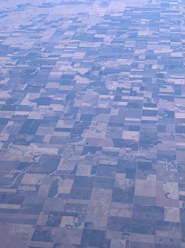
Hoerr also shared an aerial photograph (below) that depicts how the farmland typically appears without the three-dimensional optical illusion. As seen in the image, the terrain appears to be flat (the white towers scattered around the land are wind turbines). The differences between fallow land and different crops indeed correspond with what created the 3d illusion in the snowy image.
A good example of why you should always choose the window seat.

Leave a Reply