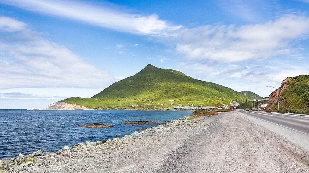
If you were to continue heading east in the USA, following the coast to its furthest reach or even venturing to one of its territories like Guam, you’d still not reach the most eastern point of the country. To find this elusive point, you’d actually need to head west.
The key to this geographical puzzle lies in the 180th meridian, the line that forms the basis of the international date line. At the International Meridian Conference held in Washington in 1884, astronomers and representatives from 25 countries established the meridian of the Royal Observatory at Greenwich as the “prime meridian,” setting the longitude at 0°. Before this convention, convened by US President Chester Arthur, there was little consensus on where the prime meridian should be. France, for instance, used Paris as the prime meridian on their maps, while China’s maps had 0° running through Beijing. This lack of standardization made global navigation quite complex.

During the conference, it was noted that the choice of Greenwich was particularly practical because the 180° meridian, which would become the international date line, crossed mostly over open water.

This line divides the globe into eastern and western hemispheres and places the volcanic Alaskan island of Semisopochnoi just under 16 kilometers (10 miles) west of the 180° meridian. Thus, despite being west of Alaska’s most westerly point, Semisopochnoi is technically the most eastern point of the USA.
If you prefer to exclude volcanically active islands or international territories, the next most eastern point is Sail Rock, located off West Quoddy Head in Maine, marking the eastern extremity of the continental USA.

Leave a Reply