
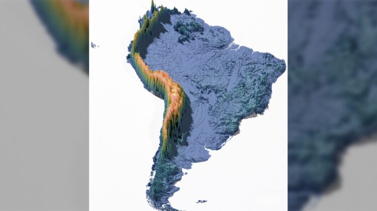
These elevation maps offer a clear, unified view of the height and depth of Earth’s continents, revealing how the planet’s surface rises and falls across immense distances. By placing every continent side by side, the differences in elevation become immediately visible, from Asia’s towering mountain systems to Africa’s broad, low-lying landscapes.

Through bold color gradients, the maps highlight dramatic shifts in terrain, making major geographic features easy to distinguish. The Himalayas and the Andes stand out sharply against surrounding regions, while deserts, plateaus, river basins, and long coastal plains appear as interconnected parts of a much larger system. What might feel abstract in numbers or charts becomes visually intuitive, allowing the eye to trace how continents were shaped over millions of years.
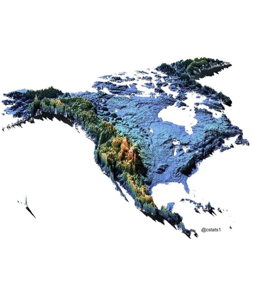
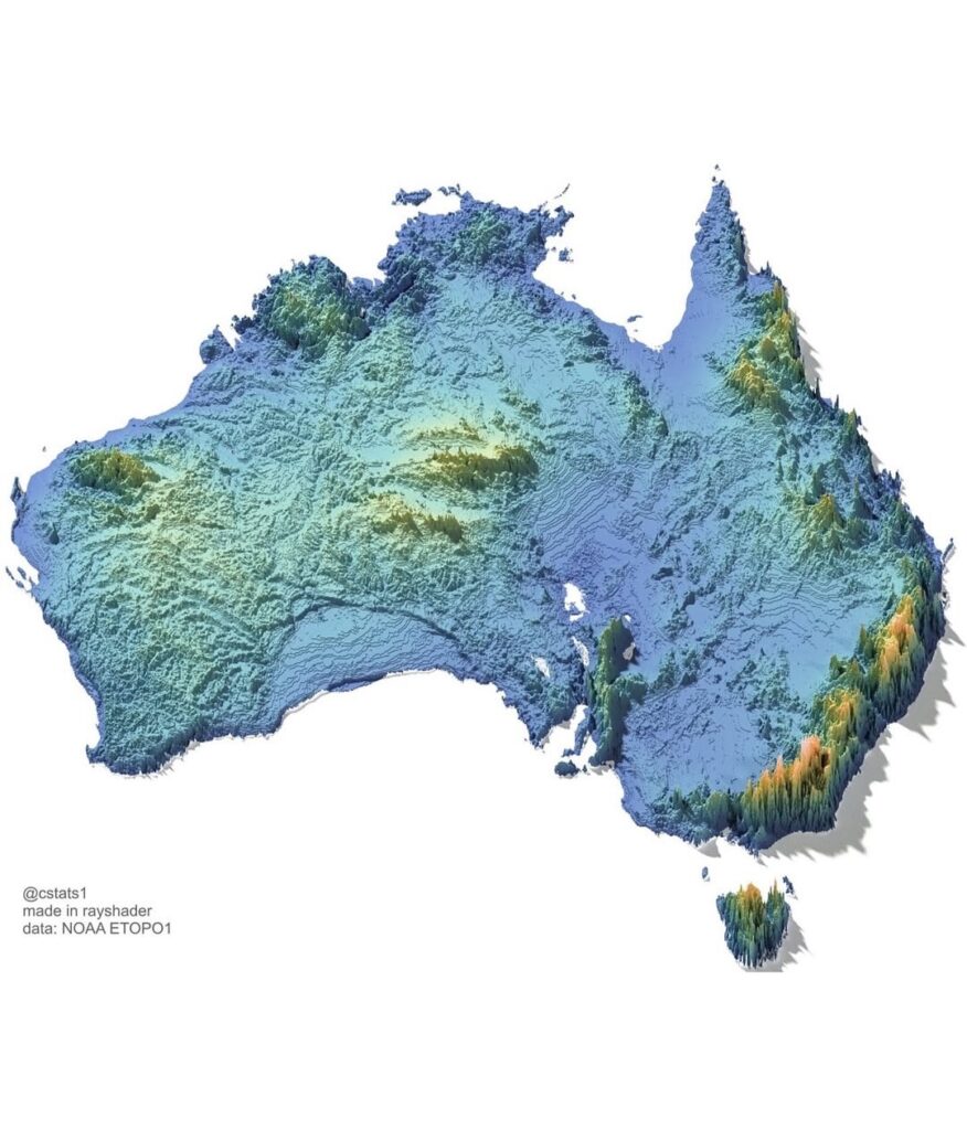
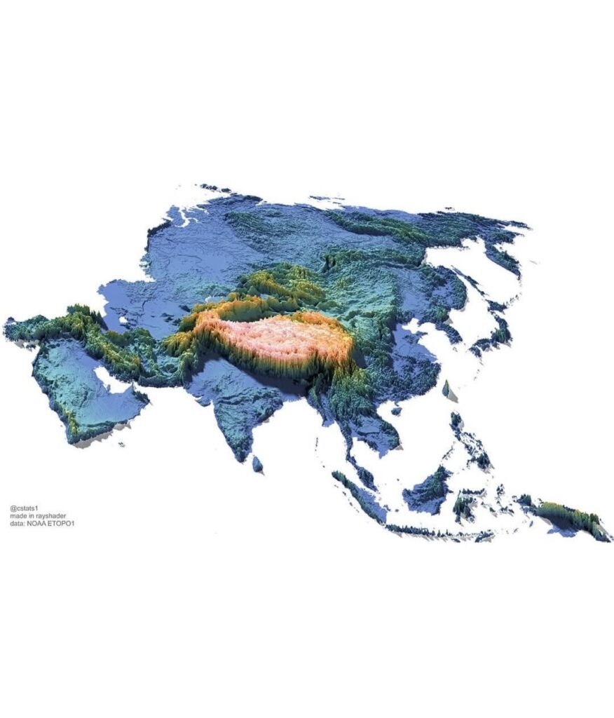
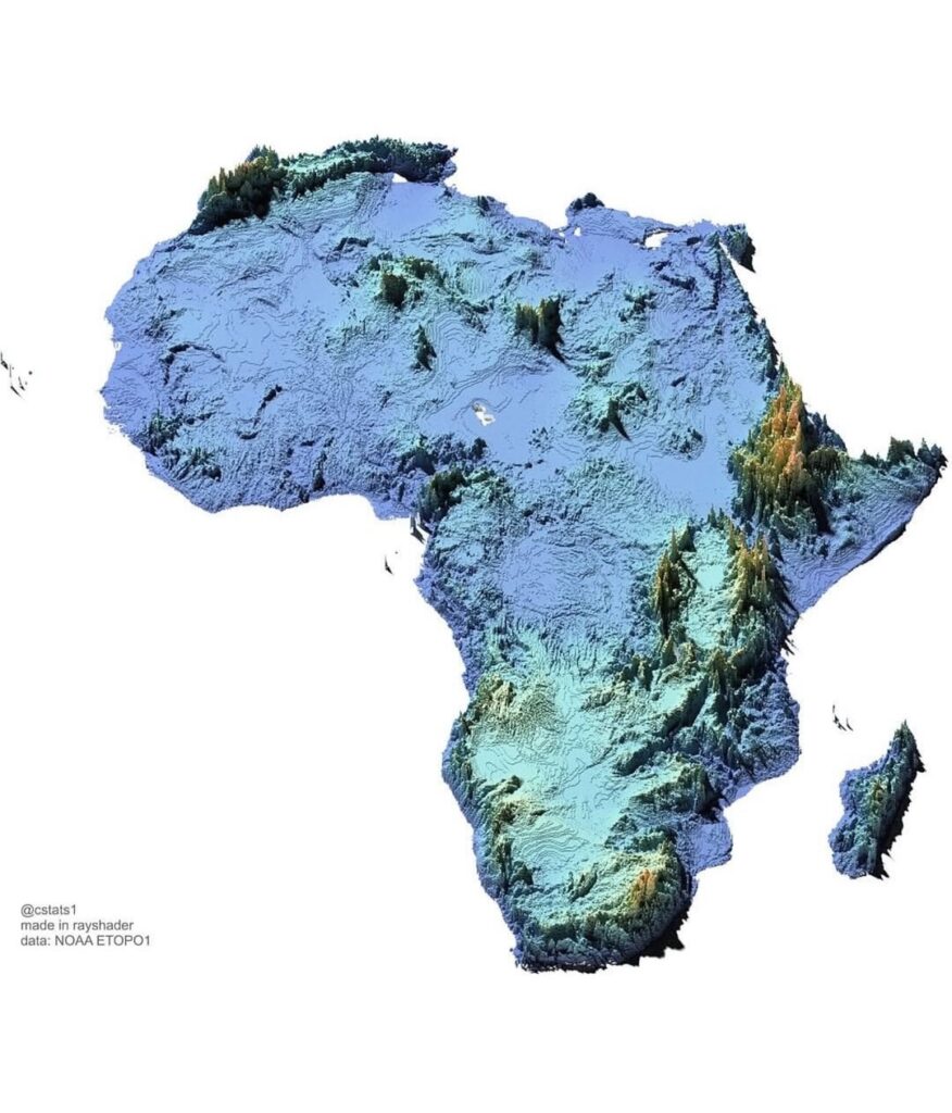
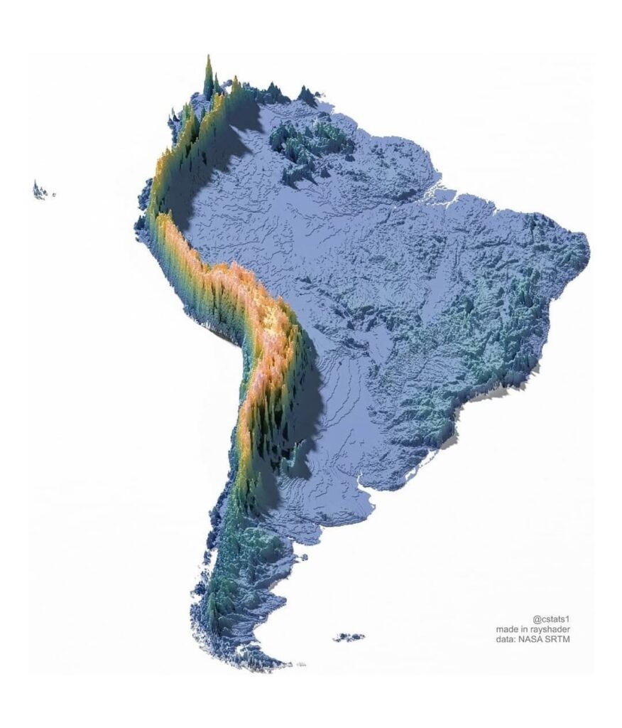
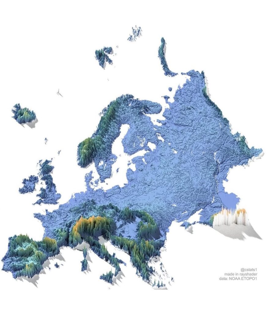
Together, these maps provide a powerful snapshot of Earth’s geographic diversity, reminding us that the ground beneath our feet is anything but uniform. Each rise and depression tells a story of tectonic movement, erosion, climate, and time.
A Broader Perspective
Seeing the planet from this perspective encourages a deeper appreciation for Earth as a shared home. Elevation shapes climate, water flow, ecosystems, and human settlement, influencing how civilizations developed and how nature continues to function today. Understanding this physical foundation helps us better understand our relationship with the planet itself.
Leave a Reply