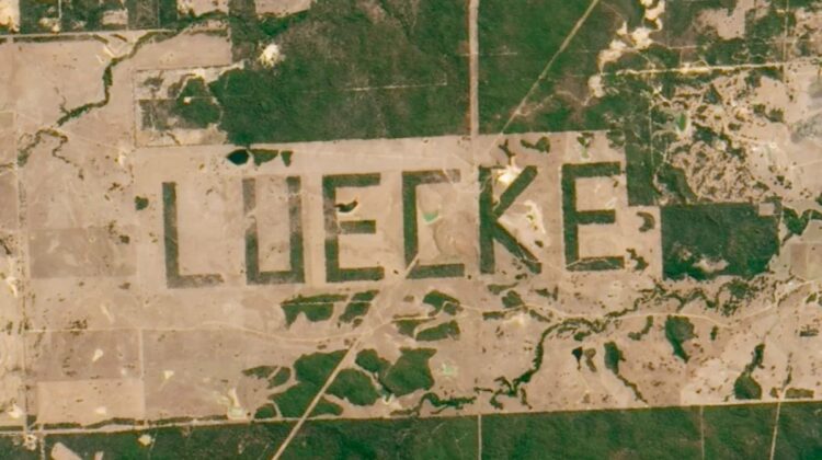
The landmark is rumored to be the “world’s largest signature.”
A farmer wrote his surname in huge letters in a field that NASA researchers used to calibrate satellite cameras in 2011.
In the l990s, a Texas farmer named Jimmie Luecke cleared several miles of brush on his land to spell out his last name in letters so large that they are visible in satellite photos. And because the word was carved so meticulously, NASA scientists have used the large linear letters to calibrate satellite cameras aboard space shuttles.
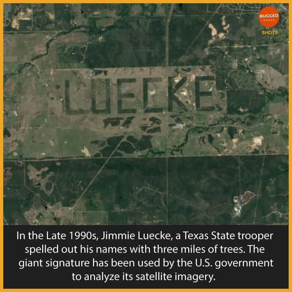
Iterations of the space-observable “Luecke” signature have made the rounds on the internet for nearly two decades. This claim is true but because the occurrence was first reported in 2002, we rate this claim as “Outdated.”
In a NASA blog post written in 2011, Robert Simmon, a data visualizer and information designer, described his surprise at finding the “kilometers-tall” letters that spelled out “Luecke” near Austin, Texas. Simmon noted that although the letters could have “just been a curiosity for passing pilots and astronauts,” scientists at the Johnson Space Center used the letters to estimate the maximum resolution of cameras aboard the Space Shuttle. The aerial photographs were taken at the Luecke Ranch, about six miles north of the eastern Texas town of Smithville. A search on the Google Maps satellite view in May 2021 revealed that the all-caps letters — which spanned more than three miles long — were still visible from space.
A study published in the International Journal of Remote Sensing in 2002 noted that the “Luecke” letters served as a test pattern for estimating spatial resolution, which is described as the level of detail a satellite sensor “sees” Earth, or the size of its individual pixels on the Earth’s surface, according to NASA.
“We also made an empirical estimate of spatial resolution for lower contrast vegetation boundaries. By clearing forest so that a pattern would be visible to landing aircraft, a landowner outside Austin, Texas, created a target that is also useful for evaluating spatial resolution of astronaut photographs,” wrote the space scientists at the time. “The forest was selectively cleared in order to spell the landowner’s name ‘LUECKE’ with the remaining trees.”
According to local surveyors who planned the clearing, the plan was to create letters that measured 3,100 by 1,700 feet. The letters were photographed by a space shuttle at an altitude of 337 miles with a 250-millimeter lens. Each individual pixel represented an area of between 88 and 104 feet. (You can explore the farm in greater detail by clicking this Google Earth link.)
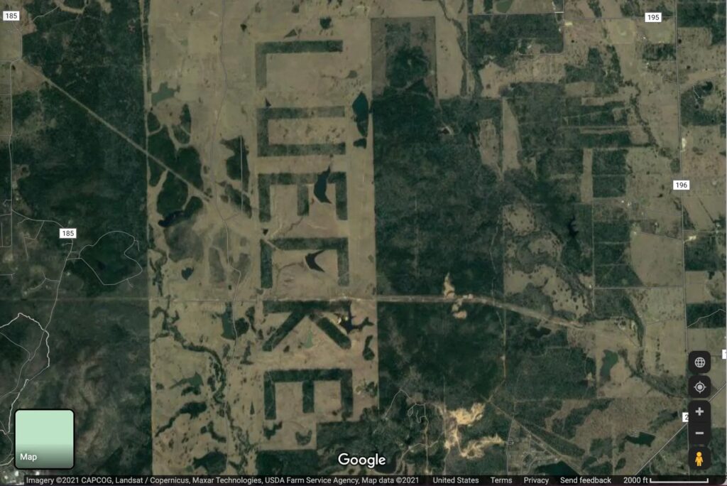
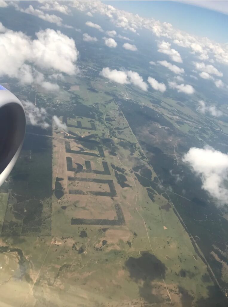
Conde Nast Traveler reported in 2016 that local landowner Jimmie Luecke bulldozed the brush on his land in the 1990s and left behind his terrestrial namesake and the “world’s largest signature,” which just so happens to lie along major flight paths out of Houston. Atlas Obscura noted that the geoglyphs could serve an agricultural purpose known as alley cropping, cropping, which uses strips of trees to divide pieces of farmland, according to the U.S. Department of Agriculture. As its name suggests, alley cropping plants rows of trees or shrubs to create alleys between different agricultural crops.
Leave a Reply