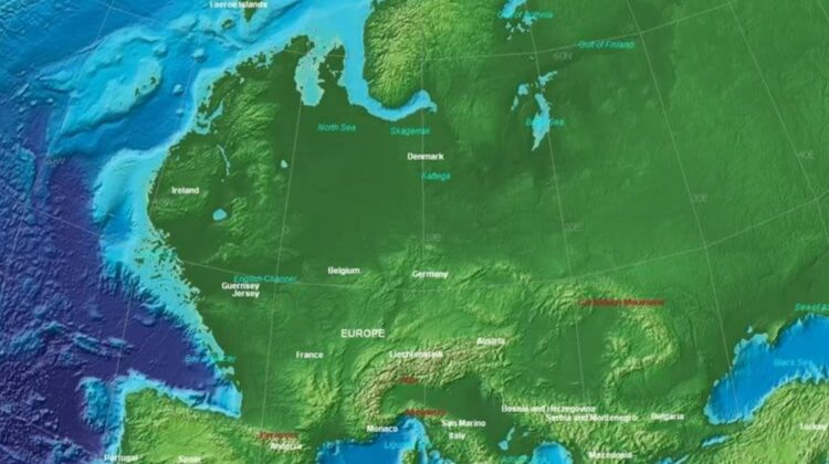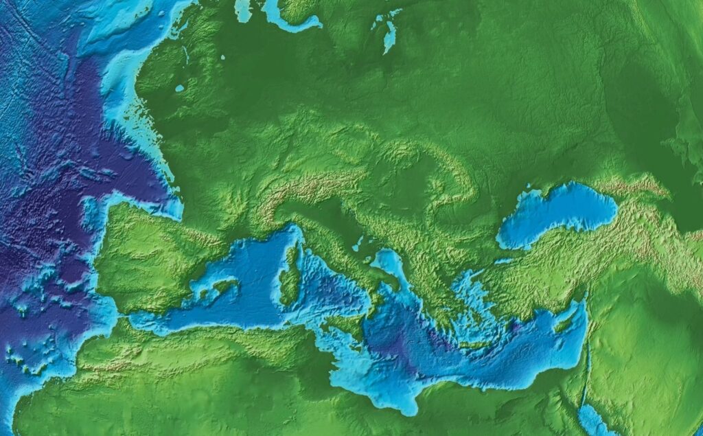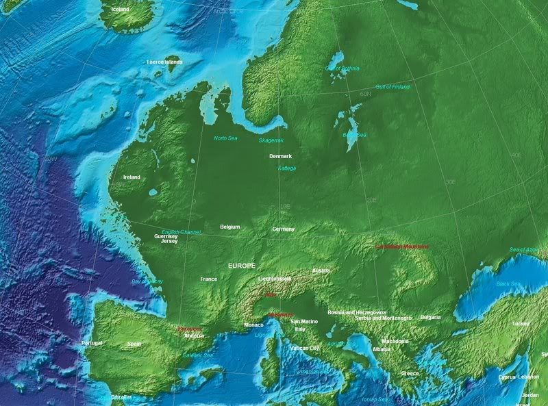
This is what Europe looked like at the end of the last ice age (cc. 10,000 BC). It was even more united than today, wasn’t it? Anyway, the last glacial period occurred from the end of the Eemian interglacial to the end of the Younger Dryas, encompassing the period c. 110,000 – c. 11,700 years ago.
This most recent glacial period is part of a larger pattern of glacial and interglacial periods known as the Quaternary glaciation extending from c. 2,588,000 years ago to present.

The same thing with some modern points of reference:

One of the most striking differences on the map compared to today’s Europe is the presence of Doggerland, a region of land that connected Britain and continental Europe during the last ice age. It was inhabited by Mesolithic people who hunted, fished and gathered in its diverse landscapes.
As the climate warmed, Doggerland was gradually submerged by rising sea levels until it finally disappeared around 8,000 years ago when it was flooded by a devastating tsunami. With the use of seismic data and artifacts, archaeologists and paleontologists are now reconstructing its ancient landscape and the life of the people who lived there.

Leave a Reply