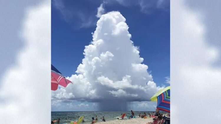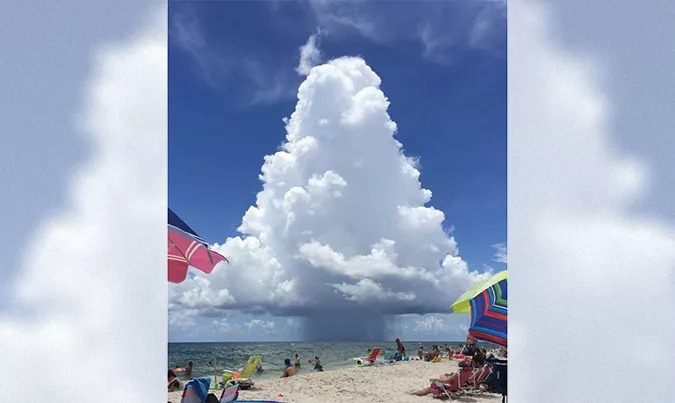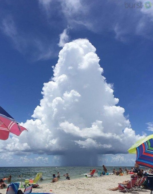
A remarkable photo taken by Rick Geiss from Gulf Shores, Alabama in July 2016, showing a majestic cumulus congestus cloud with a microburst pouring a rain shaft over the ocean has been making rounds on the internet lately. Dubbed as the “perfectly symmetrical mushroom cloud,” the image has entranced the internet with its perfect mushroom shape, resembling a giant Christmas tree or a real-life version of Super Mario’s favorite fungus.

Alabama meteorologist Jake Dunn tweeted out the picture, calling it “quite possibly the best example of a mushroom cloud I have ever seen!” and the image has gone viral ever since. But what exactly is this cloud?
Jeff Halverson, a severe-weather expert for The Washington Post’s Capital Weather Gang, explained that the fluffy behemoth is a cumulus congestus cloud. It is a common type of storm cloud, known for its towering cone of fluffy white vapor perched perfectly atop a thin stem of malevolent gray rain. The tapered appearance of the cloud is caused by drier, cooler air being pulled inward and upward along the margins of the updraft, which evaporates some of the cloud edges and sculpts its unique shape.

The viral cloud is a textbook example of a “pop-up” thundershower, which usually forms and collapses within about 30 minutes, occurring independently of larger weather systems like cold fronts. To form, a pop-up storm needs just a little moisture and the hot summer sun. Warm, humid air rises high into the sky, and eventually, the air column, or updraft, rises high enough that the moist air starts to cool into water droplets. These droplets gather within the cloud and, after about 15 or 20 minutes, pour back down as rain.
“As the downdraft plummets straight down through the updraft, it snuffs out its buoyancy,” Halverson previously wrote. “Without a self-sustaining updraft, the storm’s final minutes are literally spent raining itself out.”
While the image may be captivating, it is important to remember that not all mushroom clouds are harmless. Pyrocumulus clouds, for example, are a different story. These clouds form over intense wildfires and can produce their own lightning, thunder, and even strong winds.
In conclusion, the internet’s obsession with this perfectly symmetrical mushroom cloud captured by Rick Geiss from Gulf Shores, Alabama, in July 2016 is understandable. It is a beautiful and unique example of a pop-up thundershower and a cumulus congestus cloud. However, it is important to remember that not all mushroom clouds are as harmless and should be observed with caution.

Leave a Reply